Welcome to Captured Reality
Captured Reality Inc. specializes in advanced survey and mapping solutions using cutting-edge technology. The company focuses on topographic and land parcel surveys, utilizing innovative methods like drone LiDAR and photogrammetry to deliver precise and efficient results. With expertise in creating detailed 3D models, geospatial mapping, and accurate documentation of land features, Captured Reality Inc. serves diverse clients, including developers, government agencies, and private landowners.
The firm's commitment to quality and efficiency ensures clients receive actionable data tailored to their project needs, from urban planning to rural development. Captured Reality Inc.'s advanced technology and skilled team make it a trusted partner in the geospatial and surveying industry.
Advanced Capabilities
Captured Reality Inc. excels in leveraging innovative solutions to tackle complex surveying needs, ensuring reliable data for decision-making in urban planning, forestry, and land resource management.
Advanced Technology
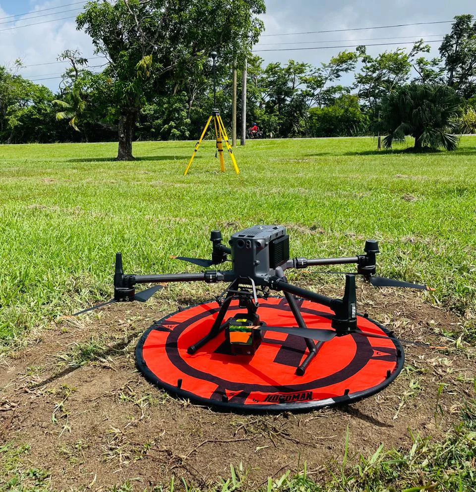
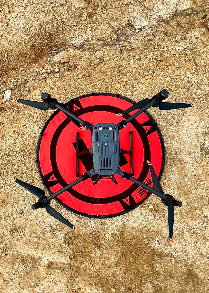
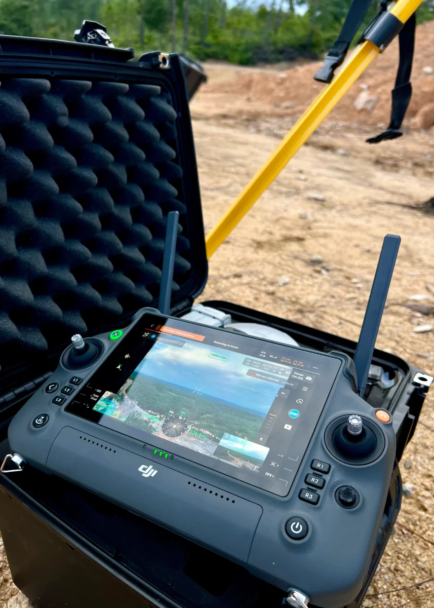
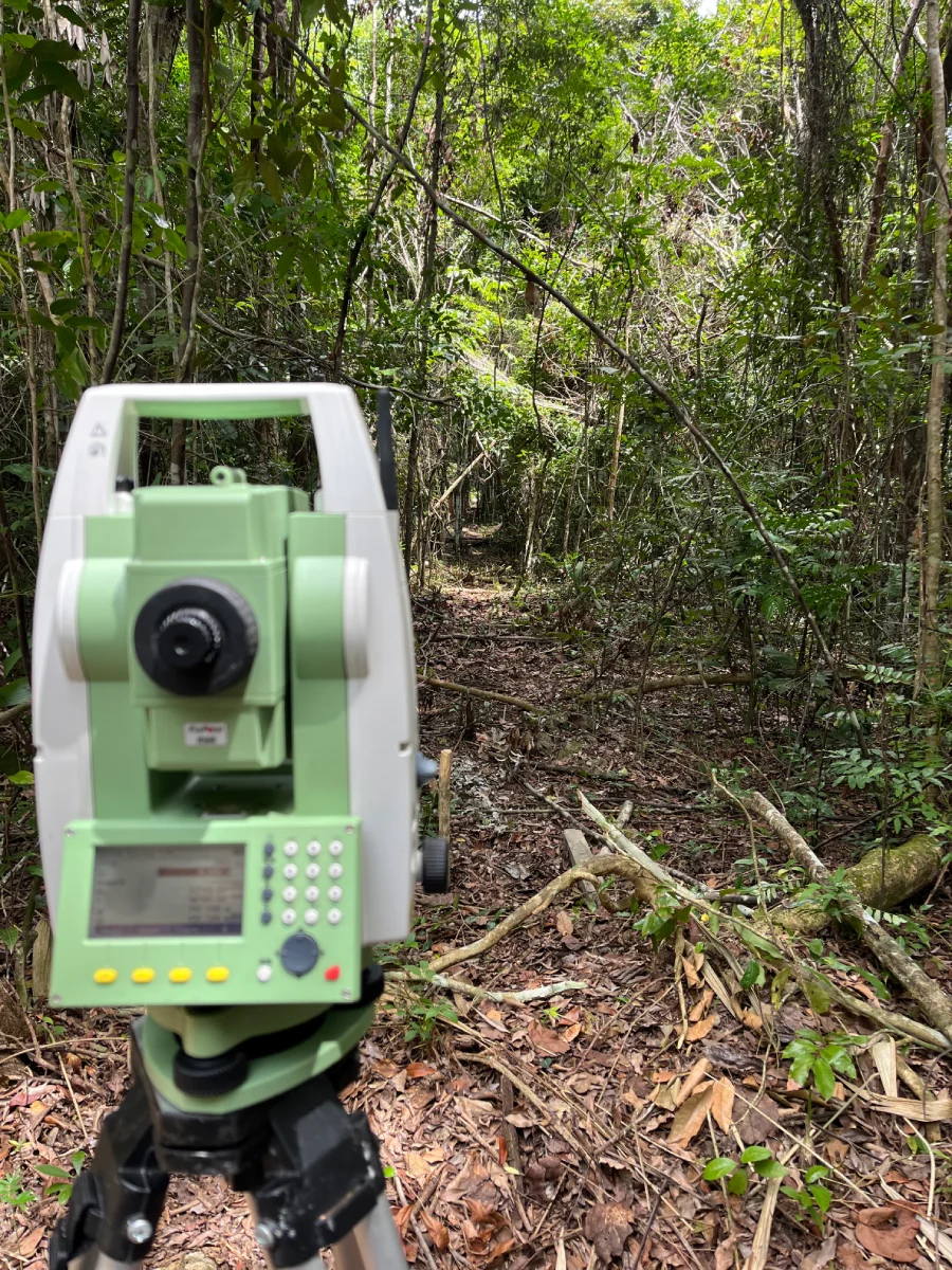
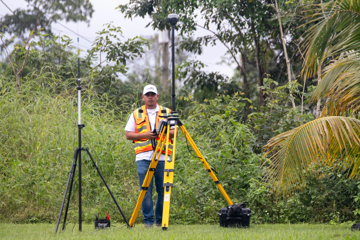
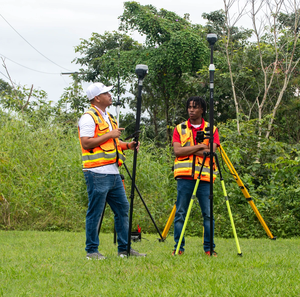
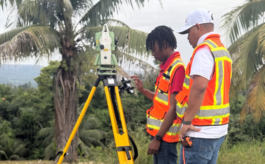
Integration of LiDAR sensors, RGB cameras, and RTK systems for superior data precision.
Comprehensive Workflow
From Ground Control Points (GCPs) placement using RTK methods to cloud-based data analysis with PIX4Dcloud.
Data Outputs
Deliverables include LAS point clouds, DEMs, DSMs, and high-resolution orthophotos, all meeting industry accuracy standards.
Overcoming Challenges
Successfully addressed logistical, weather, and technical hurdles to deliver actionable insights for stakeholders.
Drone Services
AERIAL MAPPING
Capture stunning, high-resolution aerial images and videos.
LiDAR MAPPING
Advanced LiDAR technology to create highly detailed 3D models.
PHOTOGRAMMETRY
Generate precise, georeferenced images of your land surface.
INFRASTRUCTURE INSPECTION
Safely and efficiently inspect hard-to-reach infrastructure.
Land Surveying Services
BOUNDARY SURVEY
Clearly define your property lines to prevent disputes and ensure legal.
TOPOGRAPHIC SURVEY
Gain detailed information on land contours and features.
SUBDIVISION SURVEY
Facilitate land division into smaller parcels, perfect for development or sale.
CONSTRUCTION STAKING
Ensure precise measurement and alignment of construction projects.
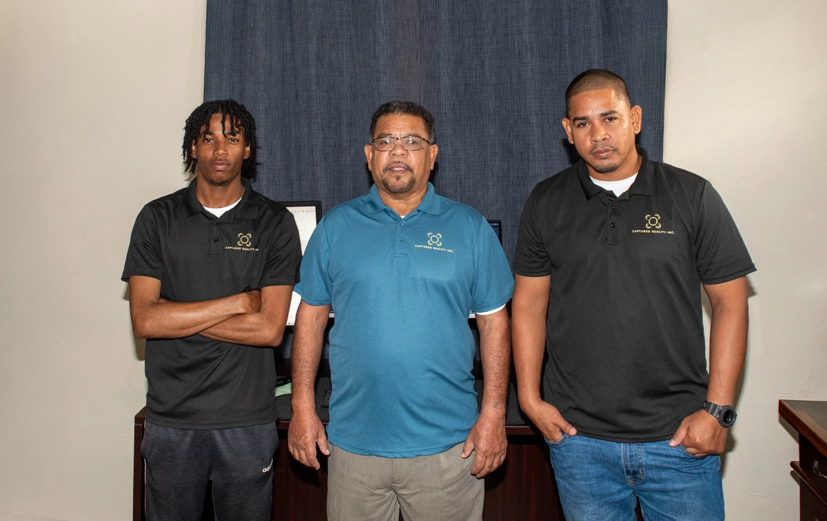
Our Professional Team
Captured Reality Inc. operates as a multidisciplinary team that combines expertise in land surveying, photogrammetry, CAD design, and modern geospatial technology. The team includes the following members:
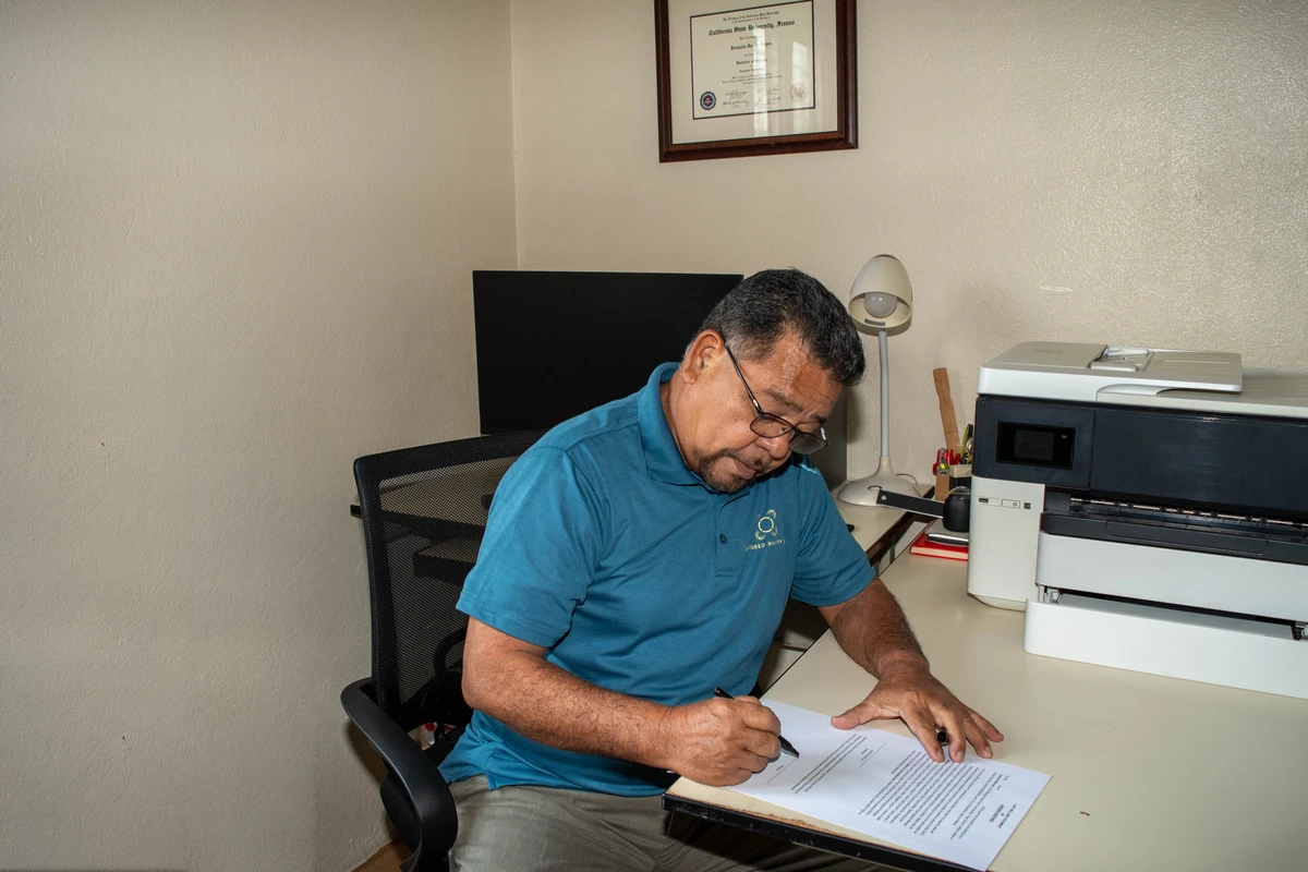
Joaquin J. DePaz
- Position: Director, Geomatics Engineer
- Role: Senior Licensed Land Surveyor
- Responsibilities: Oversees operations and project execution.
Joaquin J. Depaz is the Director of Captured Reality Inc. and a licensed land surveyor in Belize since 2013. With a B.Sc. in Geomatics from California State University, Fresno, he specializes in drone LiDAR and photogrammetry.
Jose E. DePaz
- Position: Senior Licensed Land Surveyor
- Role: High-precision surveying specialist
- Responsibilities: Supervises legal boundary surveys and ensures compliance.
Jose E. DePaz, a partner at Captured Reality Inc., has been a licensed surveyor since 1996. He holds a Diploma in Land Surveying from the University of Technology, Jamaica.
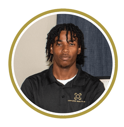
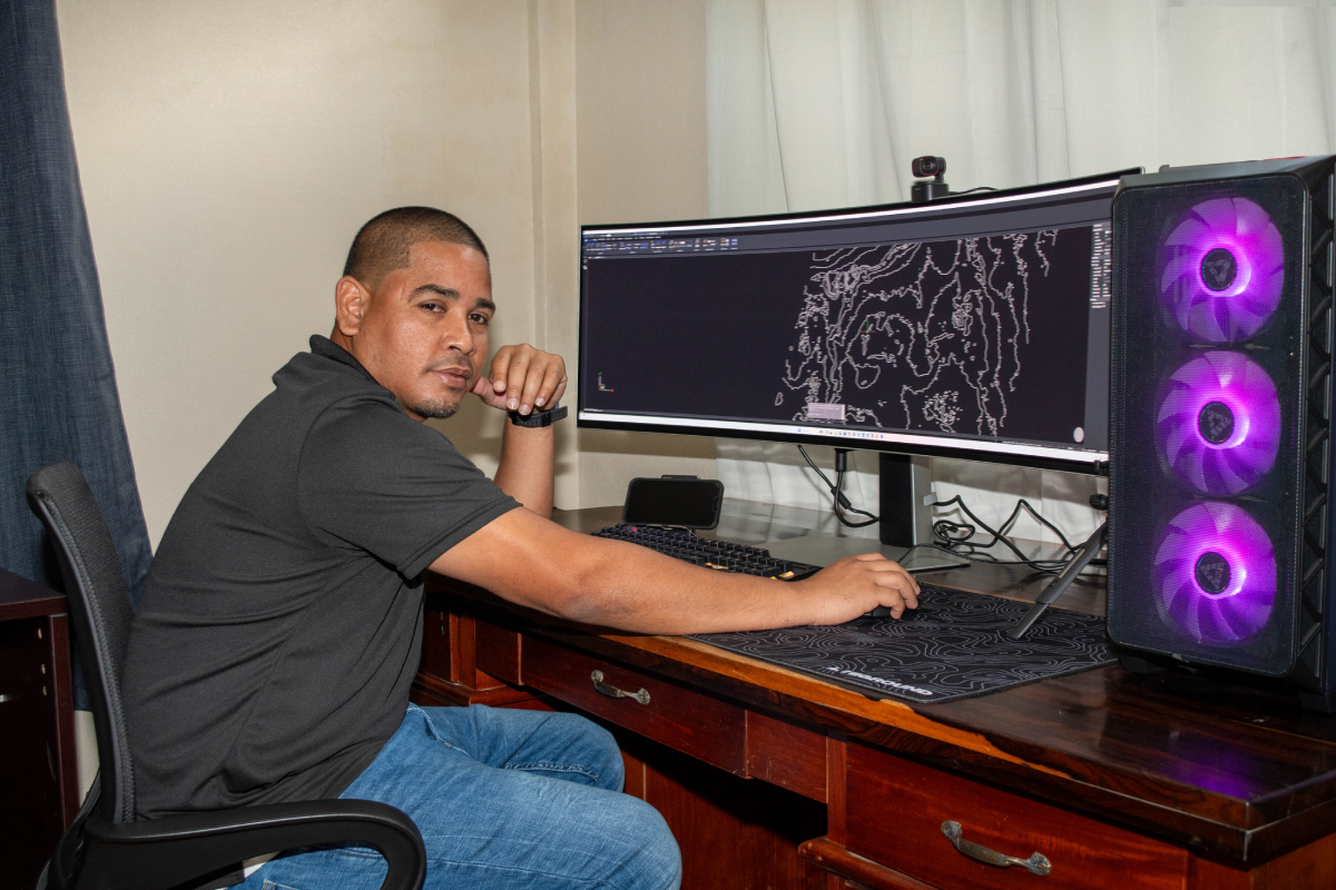
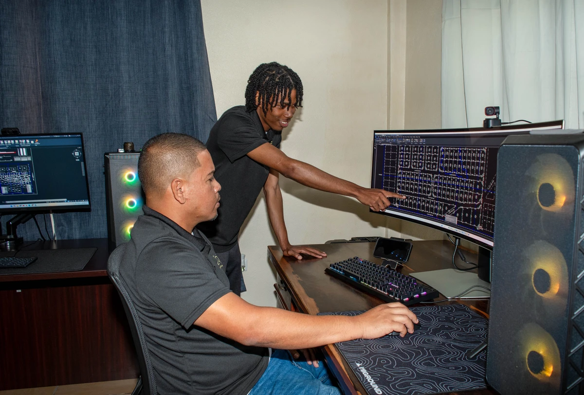
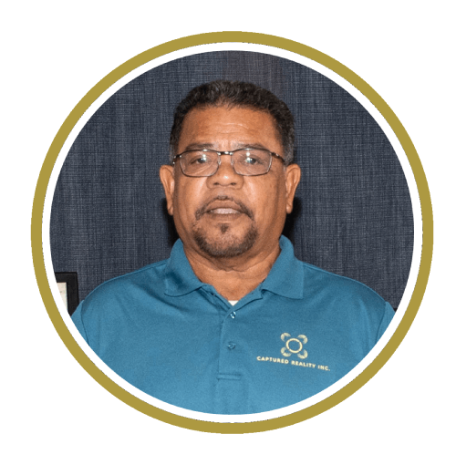
Maleek Myers
- Position: Geomatics Technician
- Specialization: Drone Pilot, GNSS operator, LiDAR, photogrammetry, CAD
- Responsibilities: Collects and processes geospatial data.
As our Geomatics Technician, Maleek brings technical expertise in drone operations, GNSS equipment handling, and advanced data processing. His skills in LiDAR, photogrammetry, and CAD ensure the delivery of precise geospatial solutions.

Fabian Perez
- Position: Senior Land Survey Technician & Land Title Consultant
- Role: Expert in property research
- Responsibilities: Validates land titles and technical accuracy.
Fabian specializes in land title consultation and technical surveying. His expertise in property research and attention to detail ensures the accuracy and legal compliance of our survey work.
Preston Rhaburn
- Position: Draftsman
- Role: CAD Designer
- Responsibilities: Produces detailed maps and technical drawings.
As our CAD specialist, Preston transforms survey data into precise technical drawings and maps. His attention to detail and technical expertise ensure our deliverables meet the highest standards of accuracy and clarity.
Jasmine DePaz
- Position: Accounting & Administration
- Role: Manages financial operations
- Responsibilities: Handles budgets, payroll, and office activities.
Jasmine oversees the administrative and financial aspects of our operations, ensuring smooth day-to-day functioning of the business. Her efficient management supports our team's focus on delivering quality surveying services.
Partner with Captured Reality
By integrating traditional surveying expertise with innovative drone technology, we provide comprehensive services to meet all your land assessment and development needs. Trust Captured Reality to deliver accuracy, efficiency, and detailed insights.
Contact Us
If you have any questions, please email us using the form below.